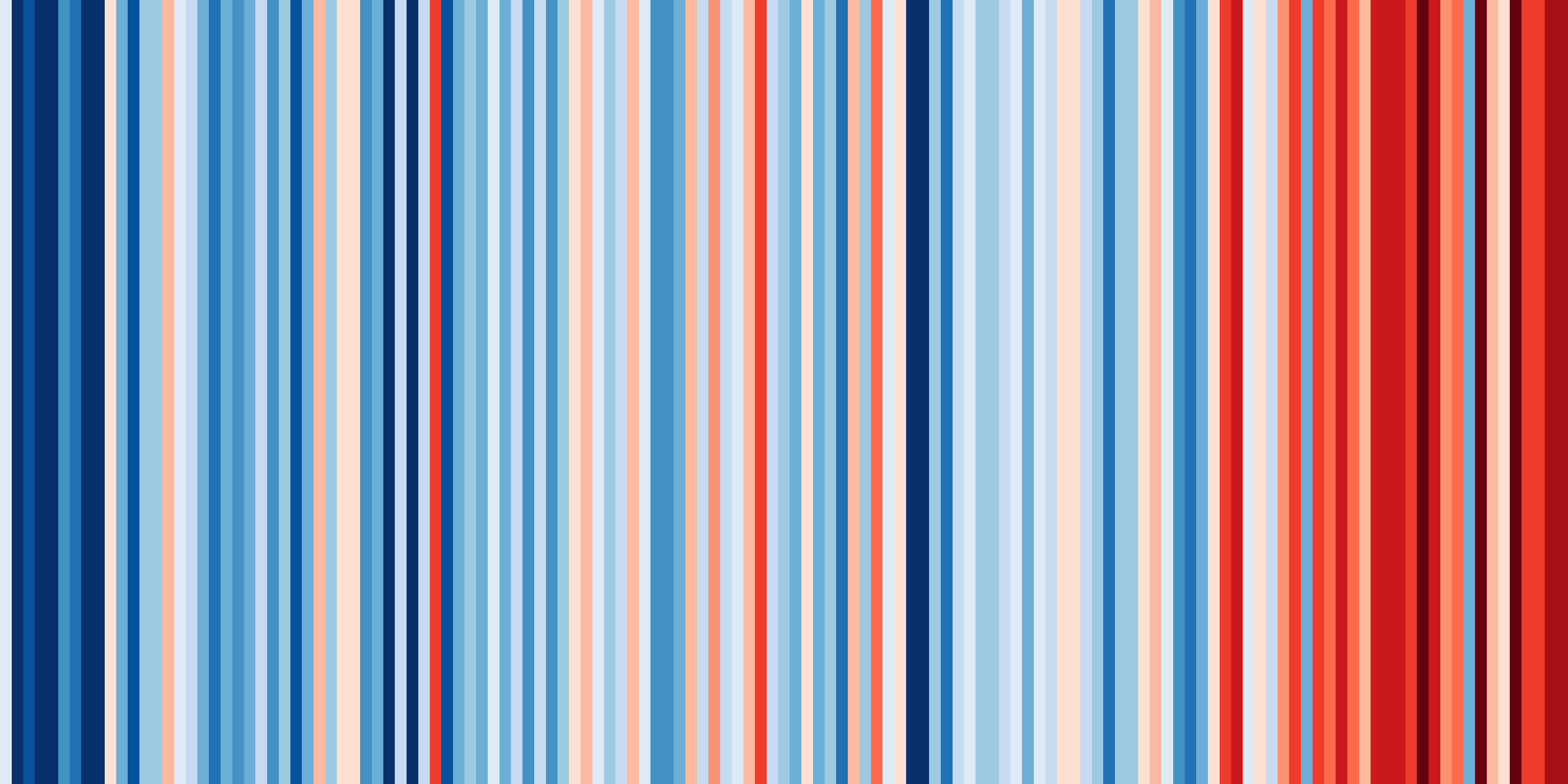
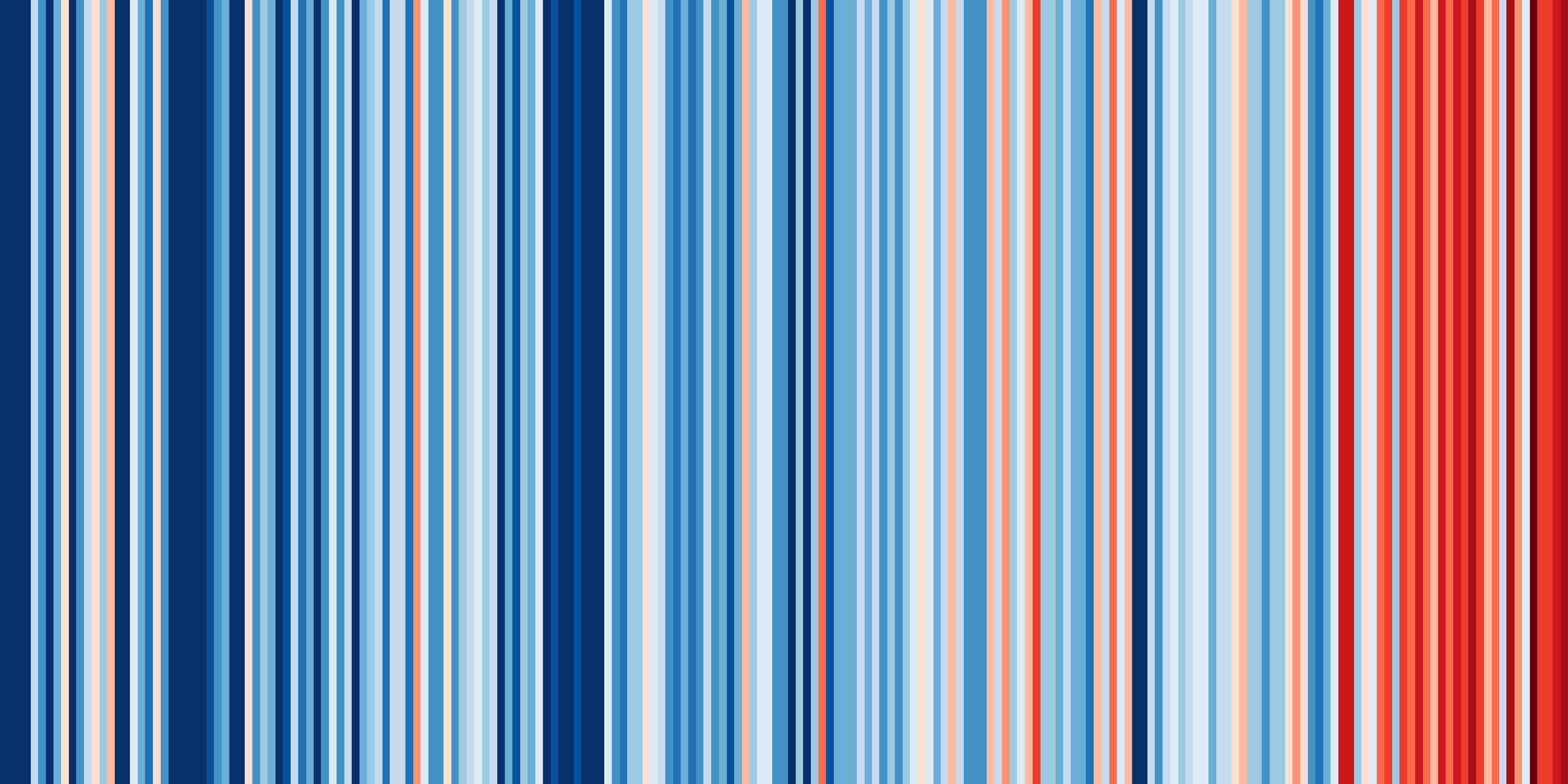
Today, TV meteorologists are raising awareness about climate change by ‘showing their stripes’ on their live forecasts. The freely available striped climate graphics are being shared on TV and Twitter to highlight rising temperatures in countries across the globe. This campaign is led by Professor Ed Hawkins ( NCAS , University of Reading) who used HadUK-Grid data to create the UK climate graphics. This data is freely available to download from the CEDA Archive.

Image: Warming Stripes for England from 1884-2018. Annual average temperatures for England from 1884-2018 using data from the UK Met Office. (credit: Ed Hawkins, https://showyourstripes.info/ )
HadUK-Grid is an open access dataset, provided to the CEDA Archive by the Met Office. It is a collection of gridded climate variables derived from the network of UK land surface observations. What makes this dataset notable is that it spans a long time-series since 1862 - making it perfect for creating visual graphics for spreading the word about climate change. Professor Ed Hawkins said, “Having open access to long term datasets is essential for climate change research. The CEDA Archive allowed me to easily download the data required to produce these images. The graphics are specifically designed to be as simple as possible, and to start conversations about our warming world and the risks of climate change”. For virtually every country or region, the stripes turn from mainly blue to mainly red in more recent years, illustrating the rise in average temperatures in that country.
Ed hopes that the #ShowYourStripes campaign will encourage people to have conversations about climate risks and ways that we can make personal changes to reduce our impact on the planet. His suggested individual actions include:
- Talk about it, to everyone
- Switch to a more vegetarian or vegan diet
- Switch to a renewable energy supplier
- Reduce, reuse and recycle more
- Use your car less and/or get an electric/hybrid
- Stop flying - if you must, then offset
- Divest your pension from fossil fuels
- Vote
Why not share your thoughts about your local ‘stripes’ with your friends/family/colleagues/neighbours/strangers on the bus - and don’t forget to share on Twitter using #ShowYourStripes.
You can find out more about the HadUK-Grid dataset held on the CEDA Archive here.

Image: Warming Stripes for Oxford from 1814-2018. Annual average temperatures for Oxford from 1814-2018 using data from the UK Met Office. (credit: Ed Hawkins, https://showyourstripes.info/ )